Main files
- [us.pbf] - for osm2pgsql, Osmium, Osmosis, imposm, mkgmap, and others. This file was last modified -03 hours ago and contains all OSM data up to December 15 2025 11:13:39. File size: 9.5GB; MD5 sum: 19fec4c8f64ac58aa4cc5afee8dba0a7.
Additional Files
- [us.poly] - file that describes the extent of this region. About POLY format
- [us.geojson] - file that describes the extent of this region. About GeoJSON format
Sub regions
Prepared geodata of United States of America
You are getting:
- Fresh geo data from the Openstreetmap project in ESRI Shape or Geopackage format
- If necessary, we can provide data in the following formats: GeoJSON, CSV, TAB
- Ready-made project for the QGIS 3 mapping program
- Styles for all layers
- 150+ icons
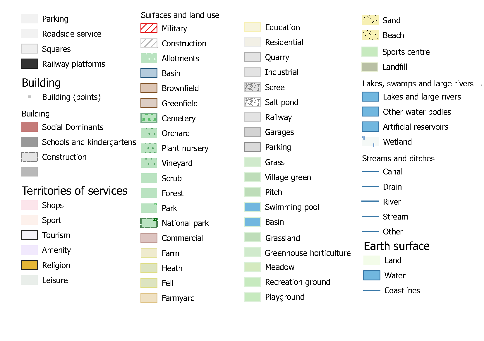
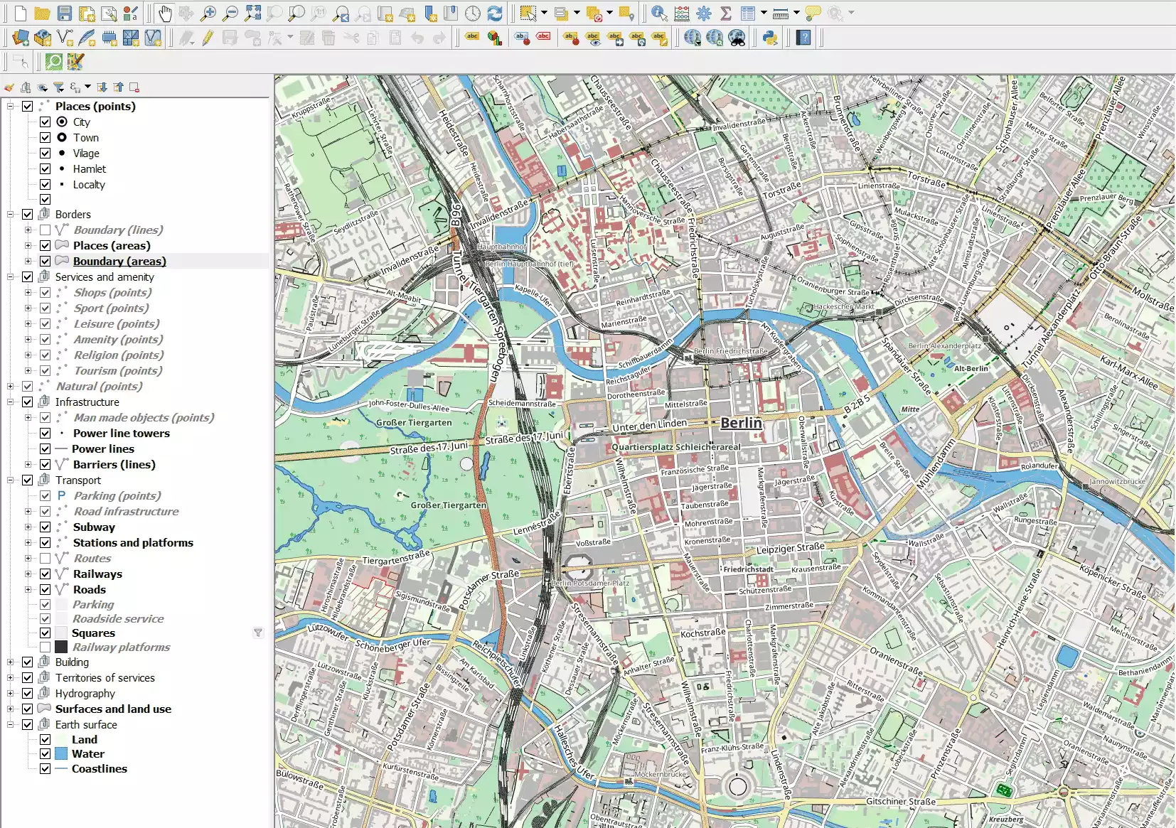
Samples of maps
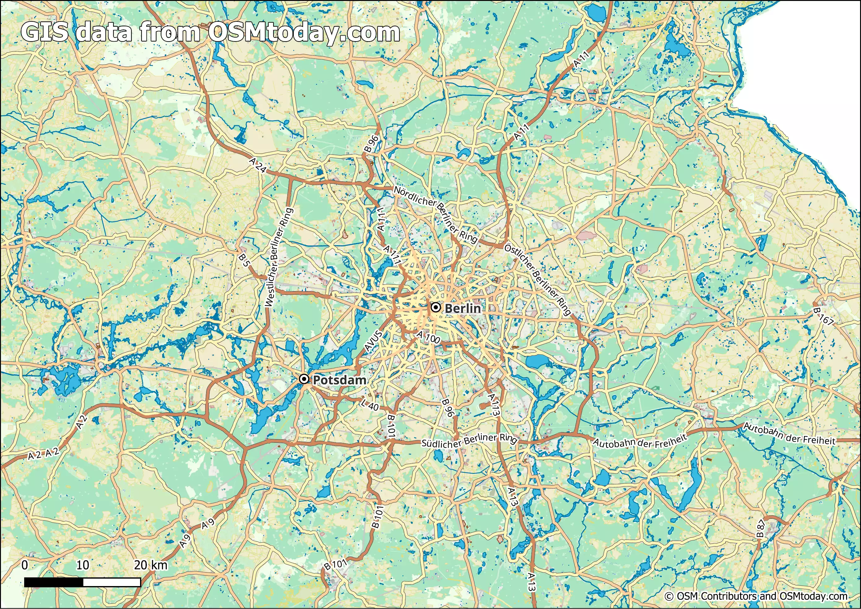
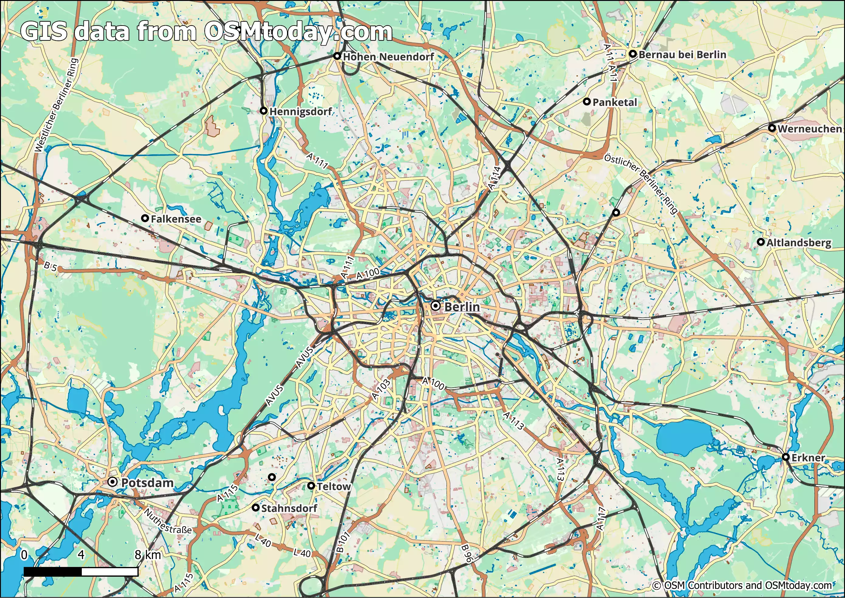
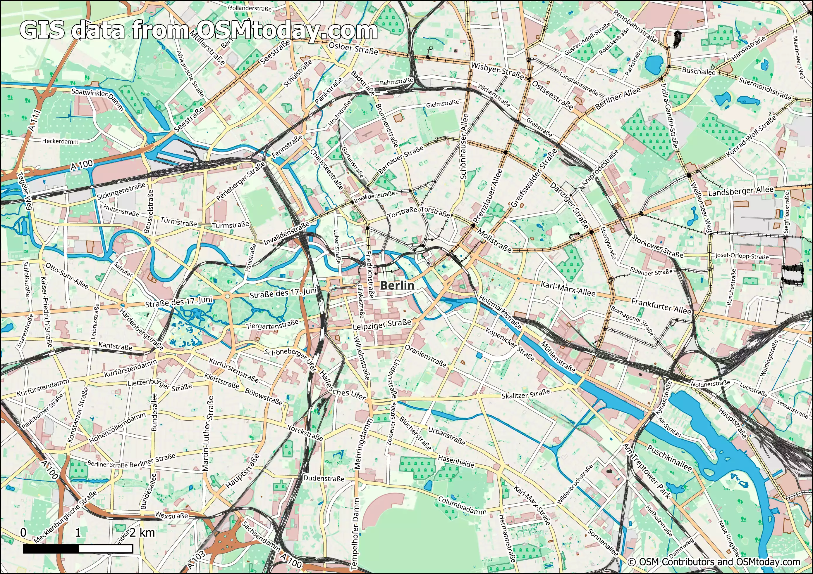
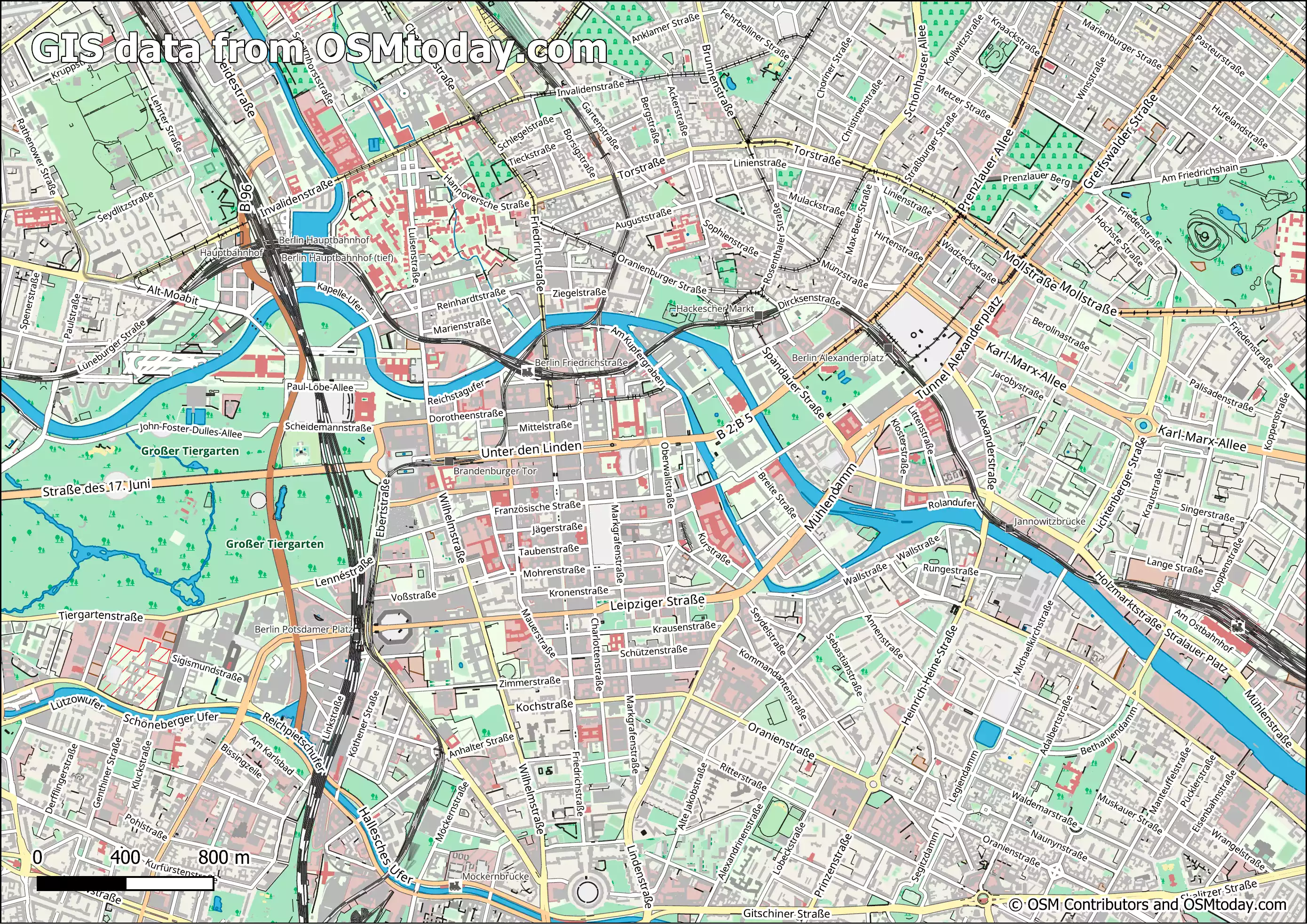
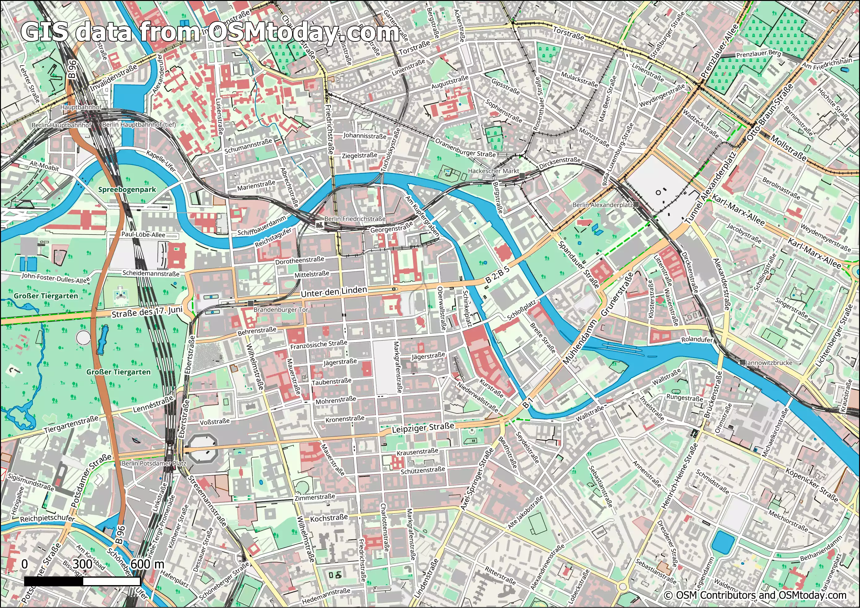
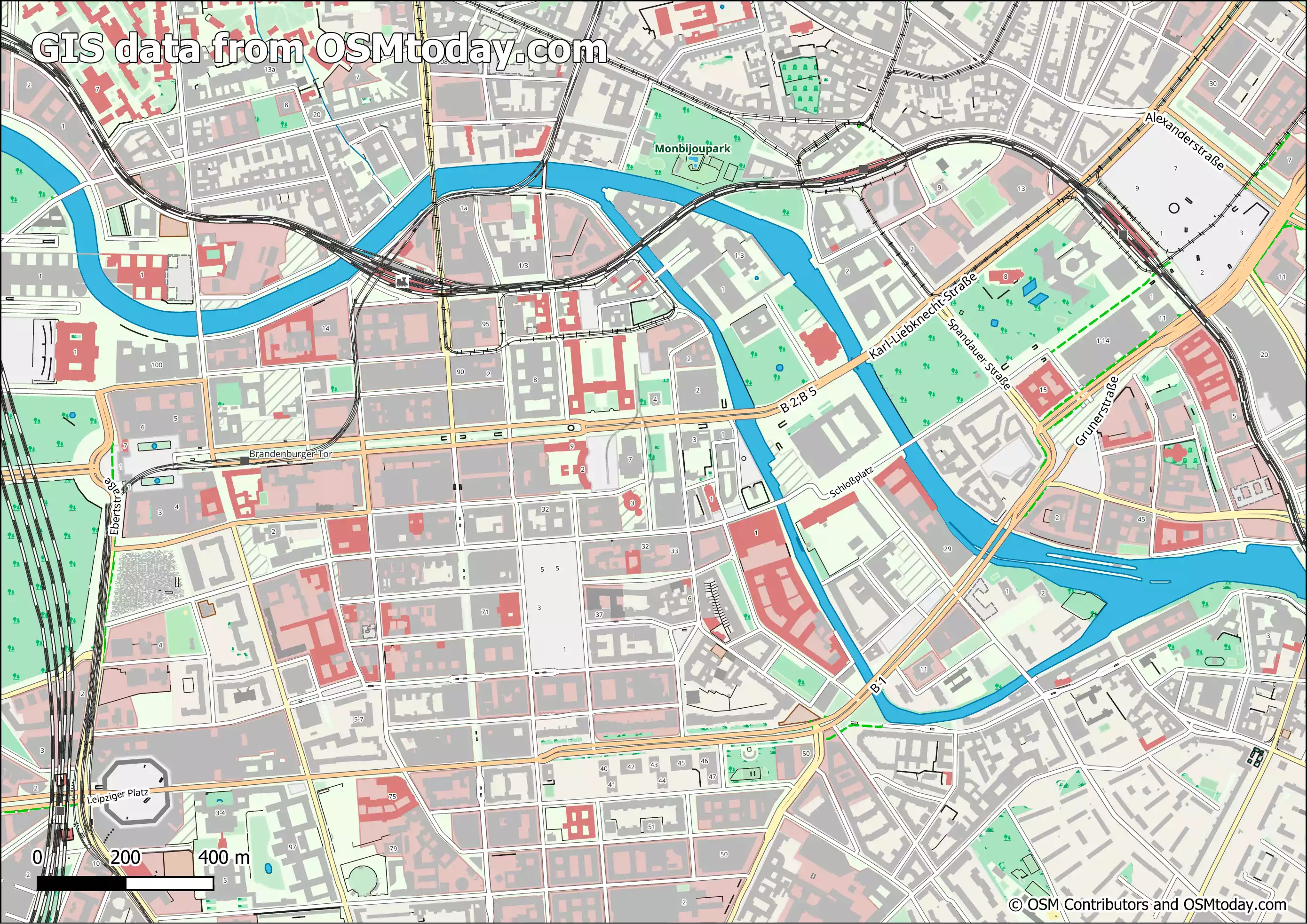
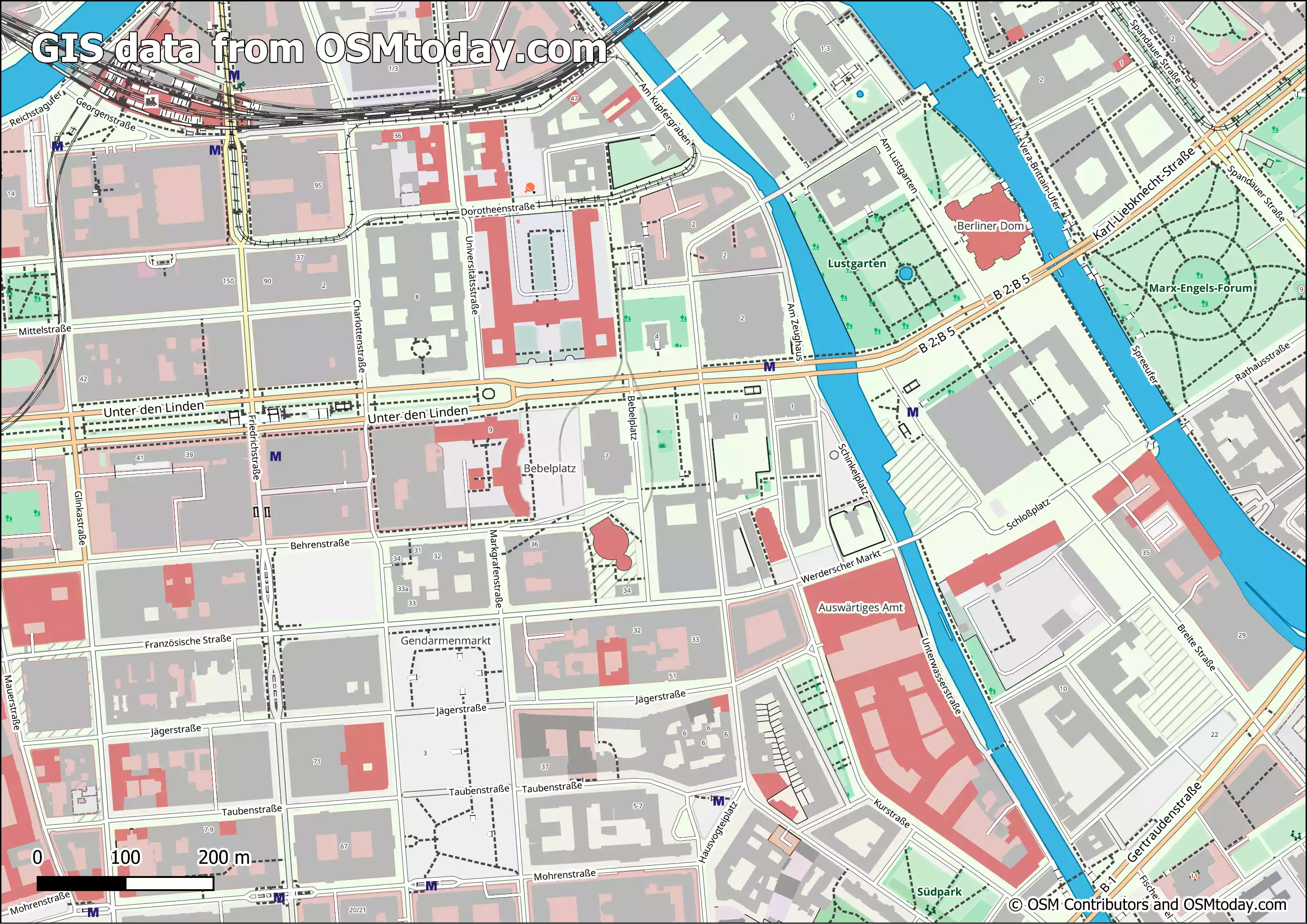
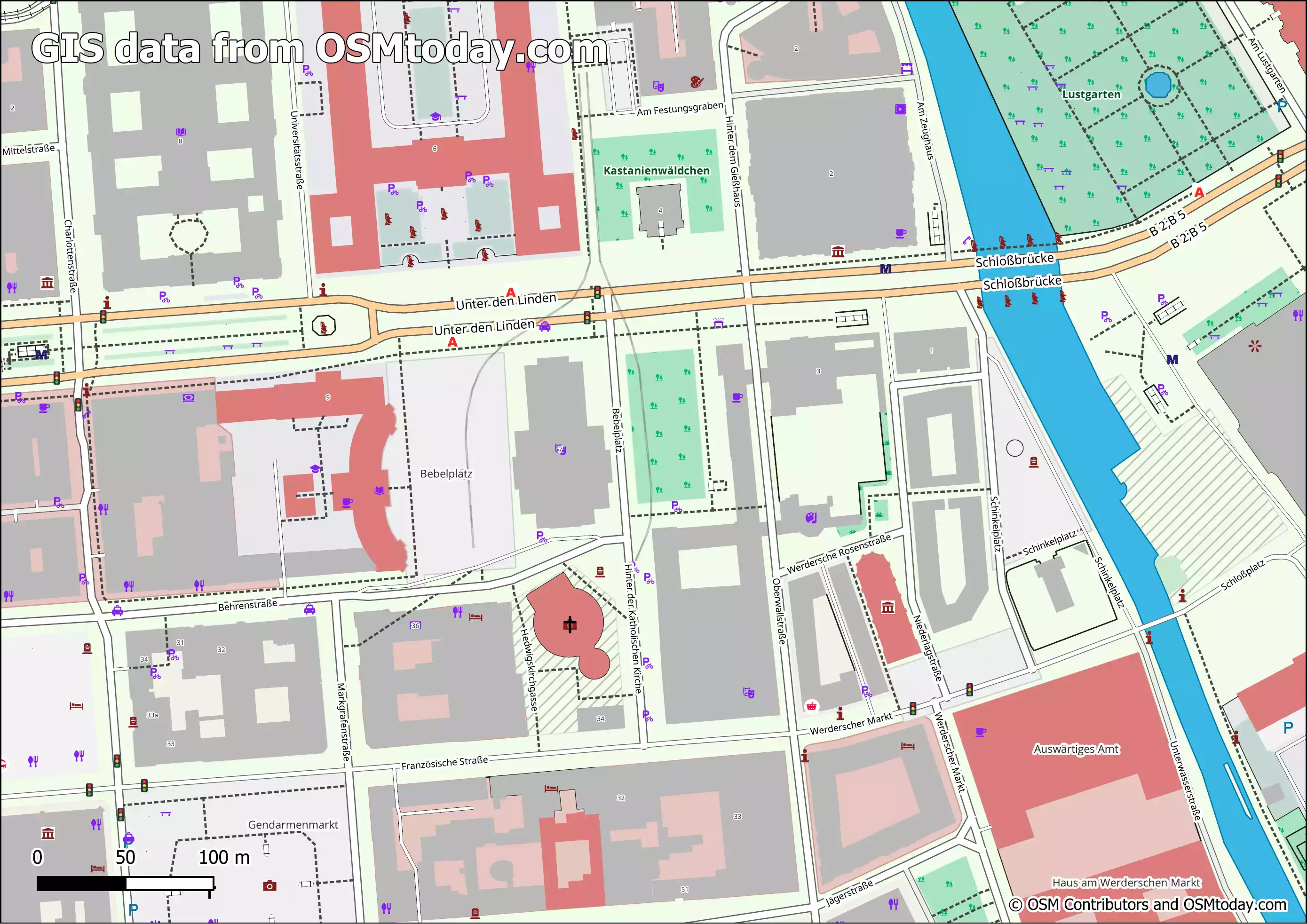
United States of America map layers
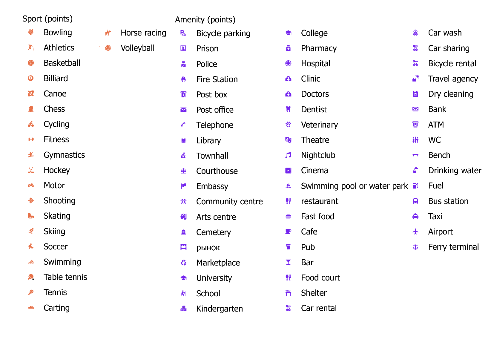
Amenity (areas) 948624
Fields of layer: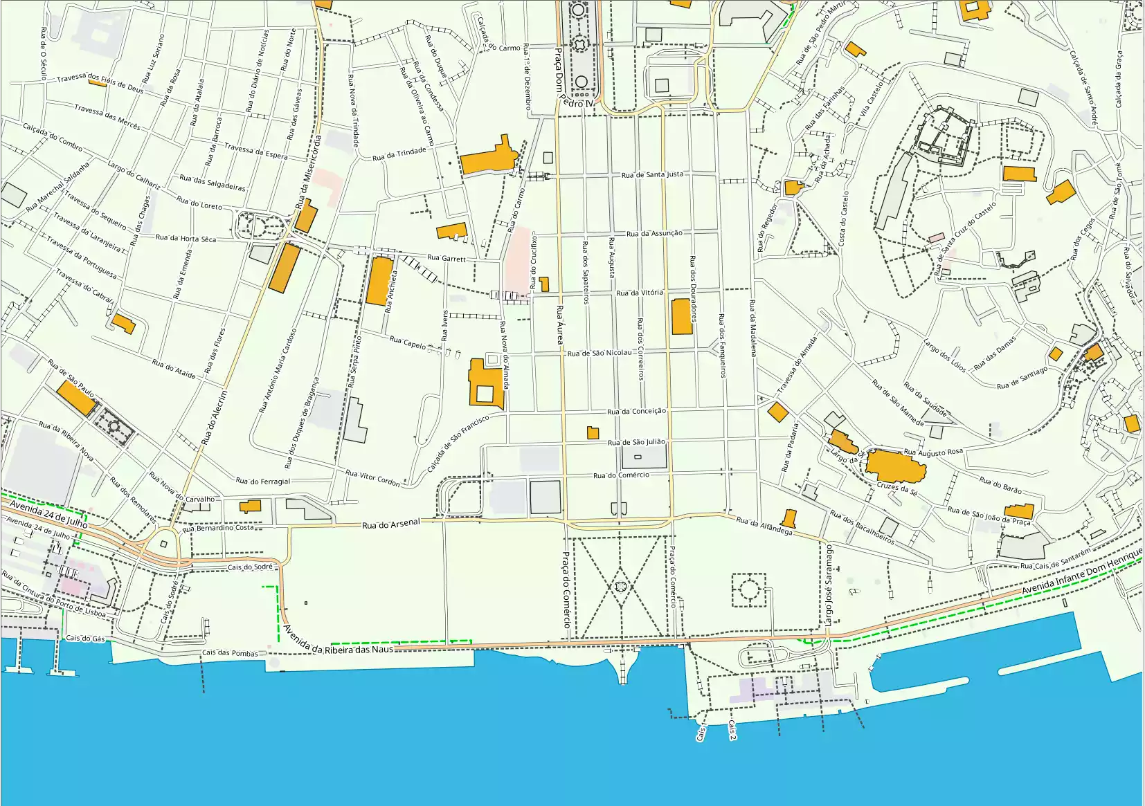
- osm_id — ID in OSM base
- name — Local name
- name_en — Name in English
- religion — religion field value
- amenity — amenity field value
- landuse — landuse field value
- leisure — leisure field value
- sport — sport field value
- type — type field value
- way — Geometry
Amenity (points) 1826556
Fields of layer: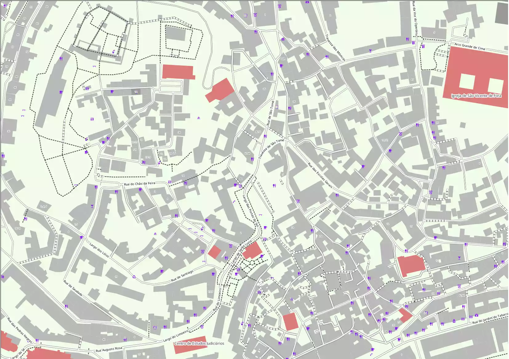
- osm_id — ID in OSM base
- name — Local name
- name_en — Name in English
- religion — religion field value
- amenity — amenity field value
- landuse — landuse field value
- leisure — leisure field value
- sport — sport field value
- type — type field value
- way — Geometry
Barriers (lines) 630432
Fields of layer: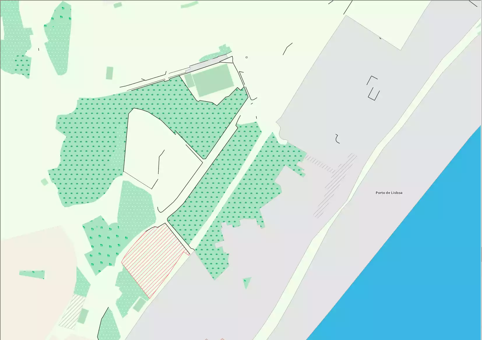
- osm_id — ID in OSM base
- barrier — barrier field value
- way — Geometry
Boundary (areas) 63205
Fields of layer: 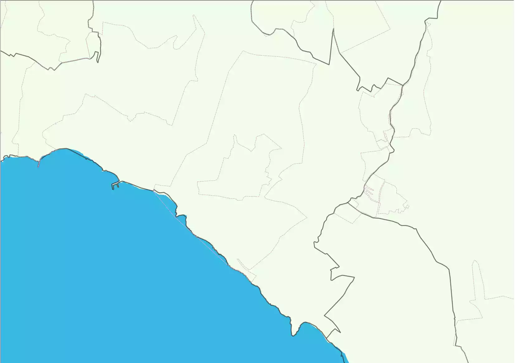
- osm_id — ID in OSM base
- name — Local name
- name_en — Name in English
- admin_level - Grade of administrative level
- way — Geometry
Boundary (lines) 159290
Fields of layer: 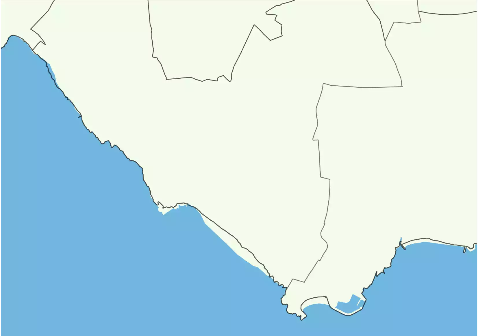
- osm_id — ID in OSM base
- name — Local name
- name_en — Name in English
- admin_level - Grade of administrative level
- way — Geometry
Building 58400336
Fields of layer: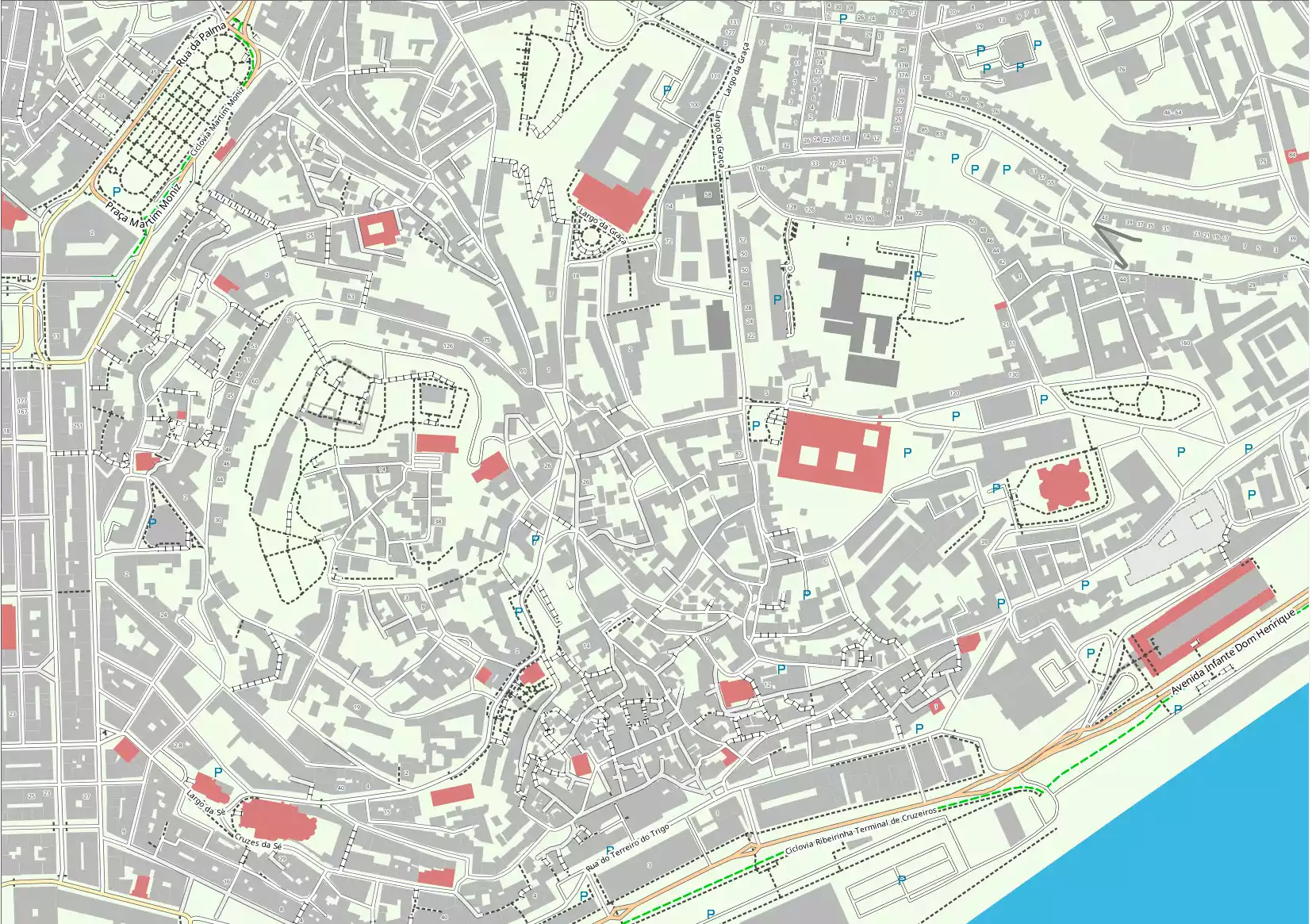
- osm_id — ID in OSM base
- name — Local name
- name_en — Name in English
- building — building field value
- b_level — building:levels field value
- a_numb — addr:housenumber field value
- way — Geometry
Buildings (points) 372887
Fields of layer:
- osm_id — ID in OSM base
- name — Local name
- name_en — Name in English
- building — building field value
- b_level — building:levels field value
- a_numb — addr:housenumber field value
- way — Geometry
Surfaces and land use 5822693
Fields of layer: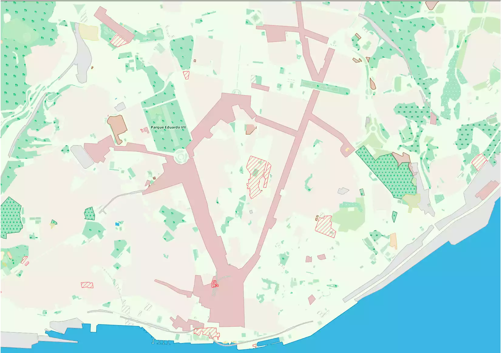
- osm_id — ID in OSM base
- name — Local name
- name_en — Name in English
- natural — Natural field value
- landuse — Landuse field value
- wood — Wood field is not null
- leisure — Leisure field value
- way — Geometry
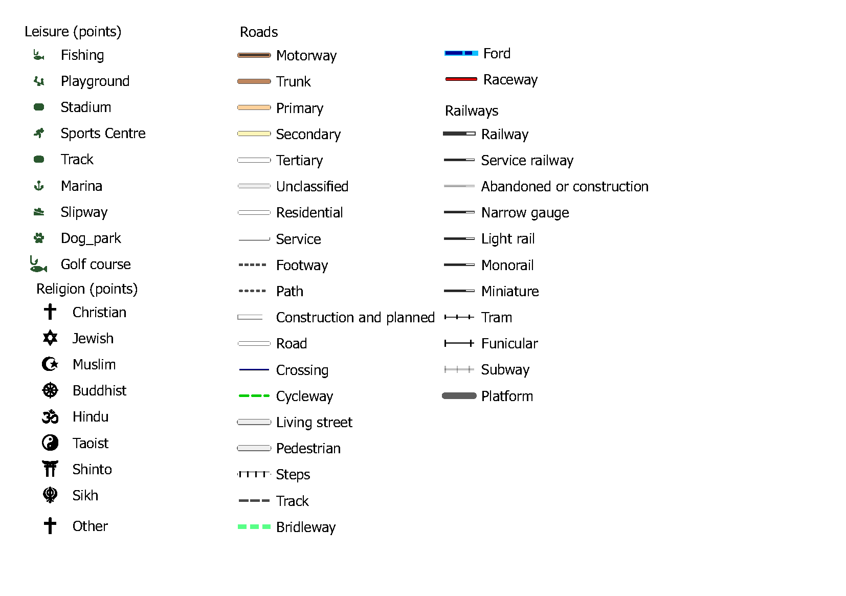
Leisure (areas) 288373
Fields of layer:
- osm_id — ID in OSM base
- name — Local name
- name_en — Name in English
- leisure — leisure field value
- way — Geometry
Leisure (points) 328674
Fields of layer: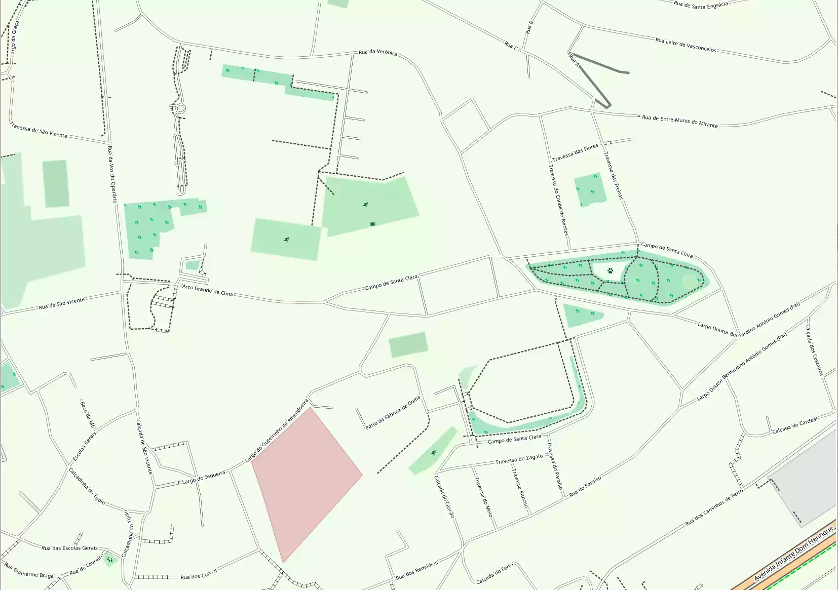
- osm_id — ID in OSM base
- name — Local name
- name_en — Name in English
- leisure — leisure field value
- way — Geometry
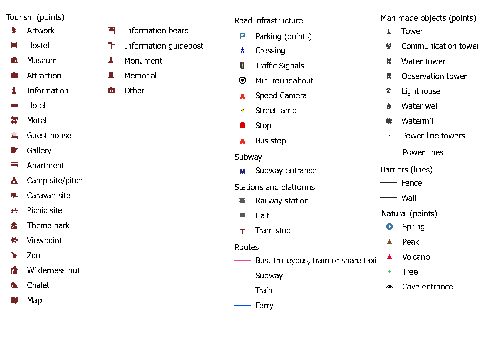
Man made objects (points) 68468
Fields of layer:
- osm_id — ID in OSM base
- name — Local name
- man_made — man_made field valu
- tower_type — tower:type field value
- way — Geometry
Natural (points) 2566772
Fields of layer:
- osm_id — ID in OSM base
- name — Local name
- natural — natural field value
- way — Geometry
Parking (areas) 1006186
Fields of layer:
- osm_id — ID in OSM base
- name — Local name
- name_en — Name in English
- AMENITY — AMENITY field value
- way — Geometry
Parking (points) 1045184
Fields of layer:
- osm_id — ID in OSM base
- name — Local name
- name_en — Name in English
- AMENITY — AMENITY field value
- way — Geometry
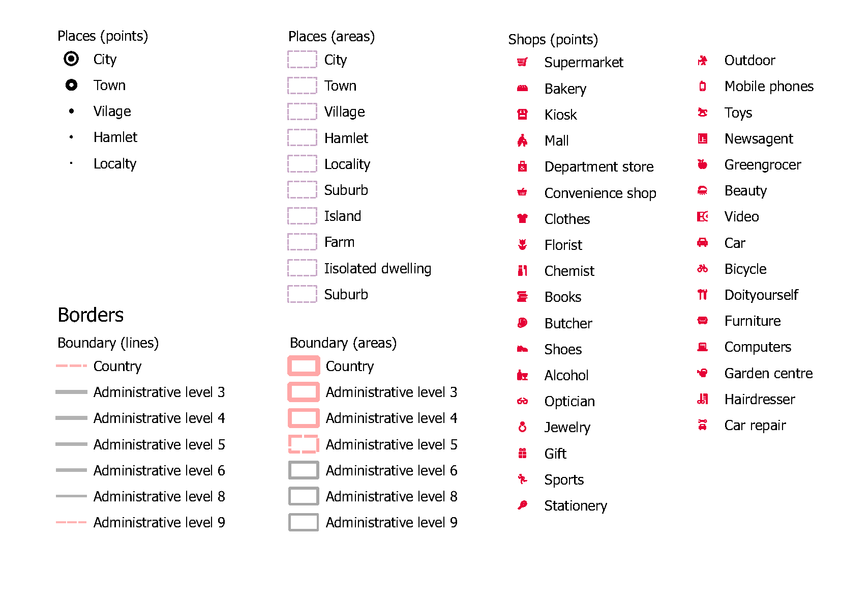
Places (areas) 44507
Fields of layer:
- osm_id — ID in OSM base
- name — Local name
- name_en — Name in English
- place — place field value
- official_s — official_status field value
- POPULATION — POPULATION field value
- way — Geometry
Places (points) 168027
Fields of layer: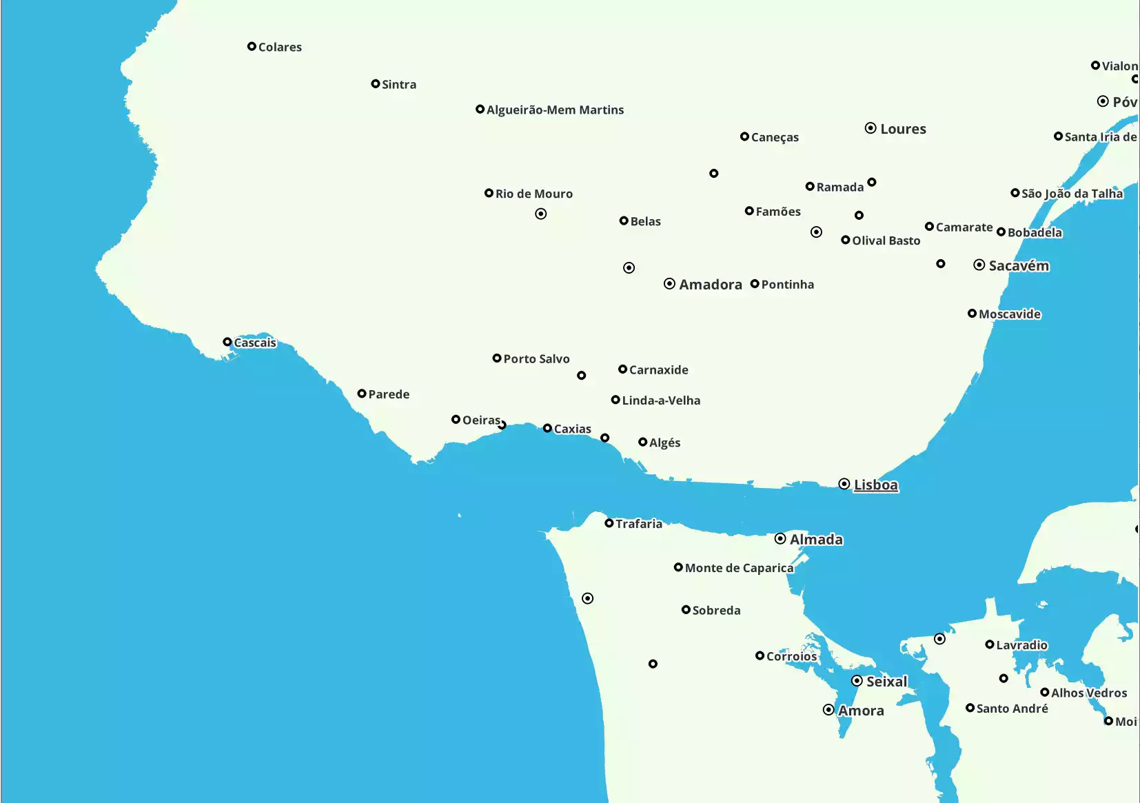
- osm_id — ID in OSM base
- name — Local name
- name_en — Name in English
- place — place field value
- official_s — official_status field value
- POPULATION — POPULATION field value
- is_capital — is_capital field value
- admin_level — Administrative grade value
- capital — capital field value
- way — Geometry
Power lines 242003
Fields of layer:
- osm_id — ID in OSM base
- name — Local name
- POWER — POWER field value
- VOLTAGE — VOLTAGE field value
- way — Geometry
Power line towers 3908382
Fields of layer:
- osm_id — ID in OSM base
- name — Local name
- POWER — POWER field value
- VOLTAGE — VOLTAGE field value
- way — Geometry
Railway platforms 5960
Fields of layer: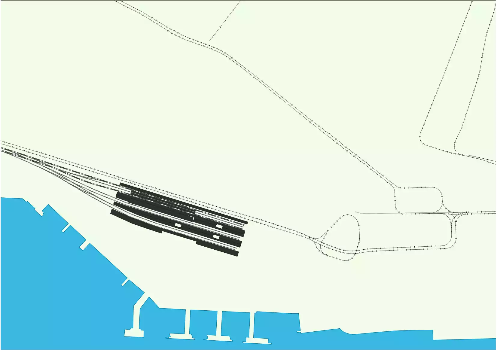
- osm_id — ID in OSM base
- name — Local name
- name_en — Name in English
- RAILWAY — RAILWAY field value
- way — Geometry
Railways 523224
Fields of layer: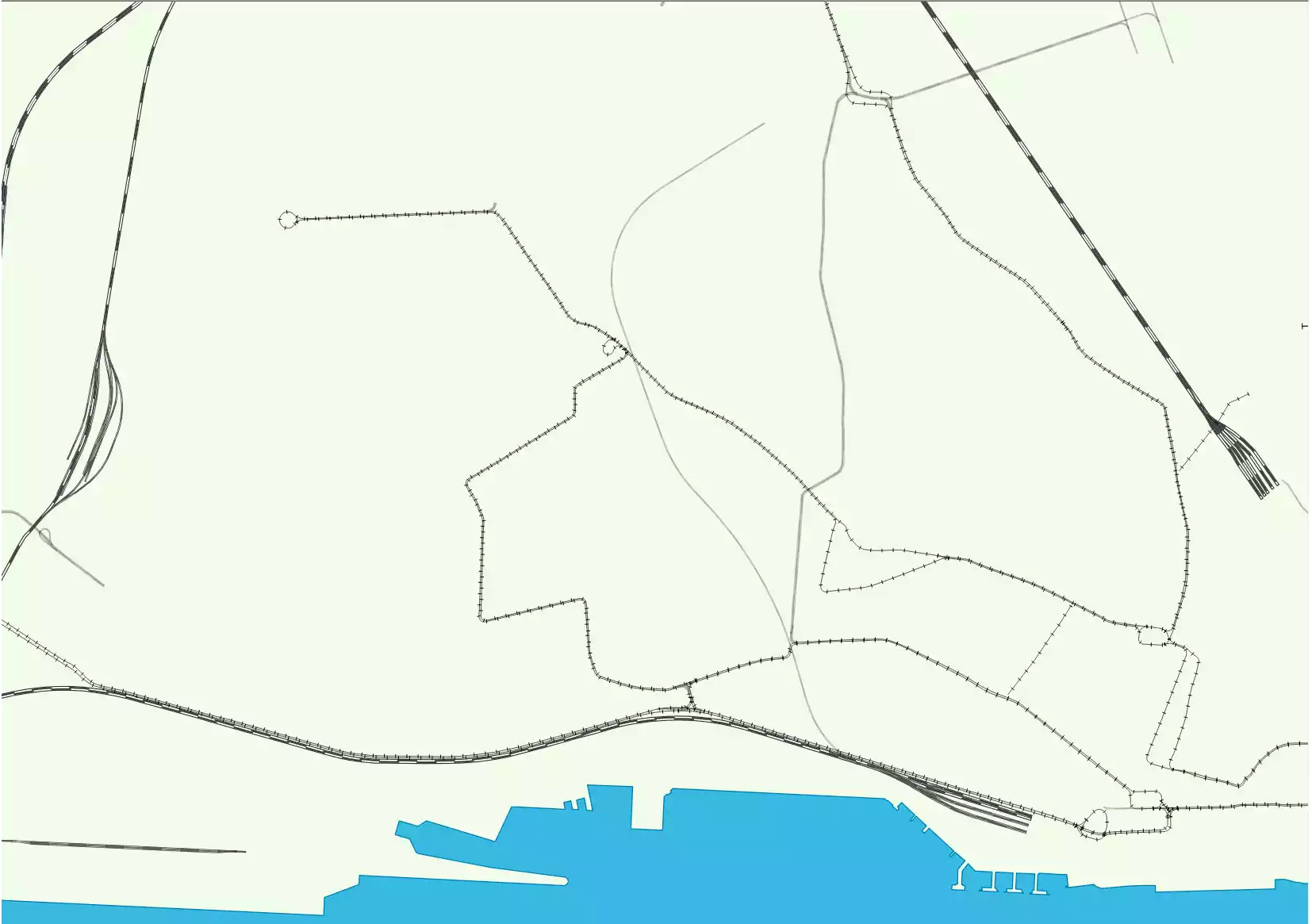
- osm_id — ID in OSM base
- name — Local name
- name_en — Name in English
- RAILWAY — RAILWAY field value
- traction — traction field value
- service — service field value
- BRIDGE — BRIDGE field value
- TUNNEL — TUNNEL field value
- way — Geometry
Railways (points) 9395
Fields of layer: 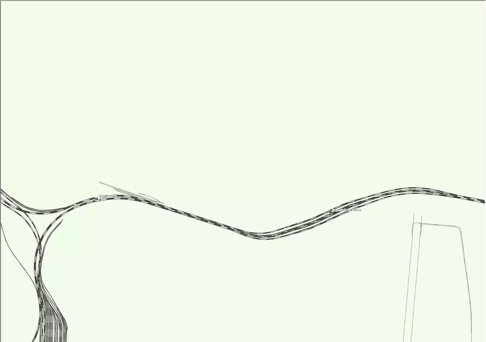
- osm_id — ID in OSM base
- name — Local name
- name_en — Name in English
- RAILWAY — RAILWAY field value
- public_transport — public_transport field value
- tram — tram field value
- station — station field value
- way — Geometry
Religion (areas) 96509
Fields of layer:
- osm_id — ID in OSM base
- name — Local name
- name_en — Name in English
- religion — religion field value
- way — Geometry
Religion (points) 254871
Fields of layer: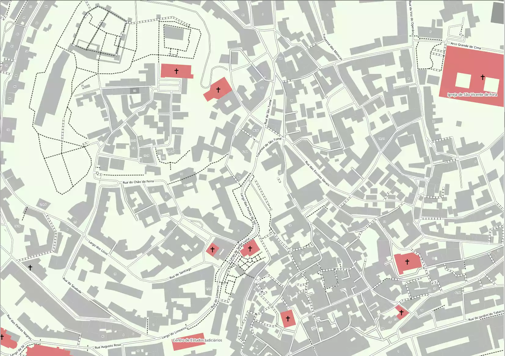
- osm_id — ID in OSM base
- name — Local name
- name_en — Name in English
- religion — religion field value
- way — Geometry
Roadside service 724
Fields of layer:
- osm_id — ID in OSM base
- name — Local name
- name_en — Name in English
- ref — ref field value
- HIGHWAY — HIGHWAY field value
- way — Geometry
Roads 39536171
Fields of layer: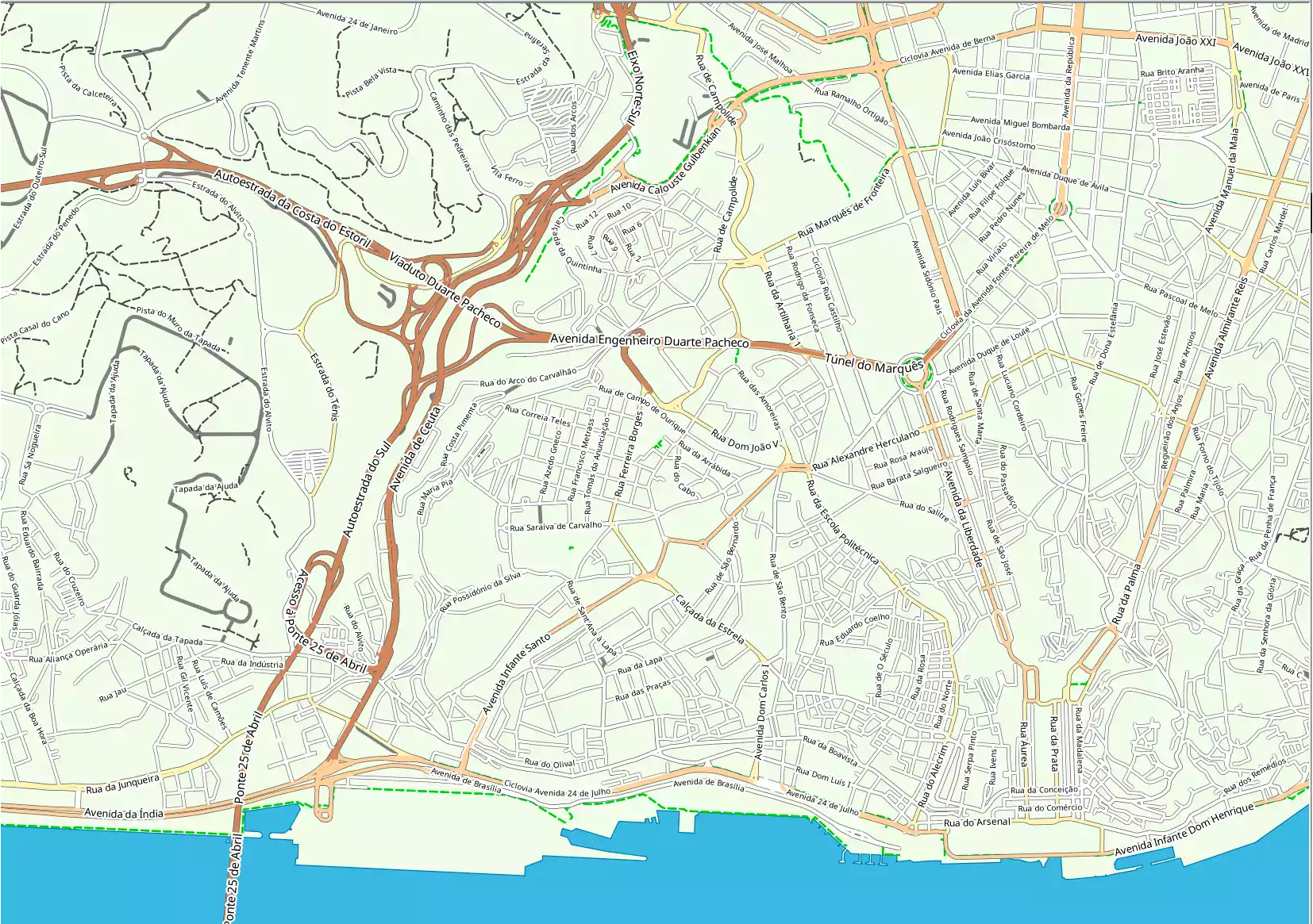
- osm_id — ID in OSM base
- name — Local name
- name_en — Name in English
- ref — ref field value
- HIGHWAY — HIGHWAY field value
- cycle — cycle field value
- horse — horse field value
- foot — foot field value
- lanes — lanes field value
- toll — toll field value
- width — width field value
- way — Geometry
Road infrastructure 4174744
Fields of layer: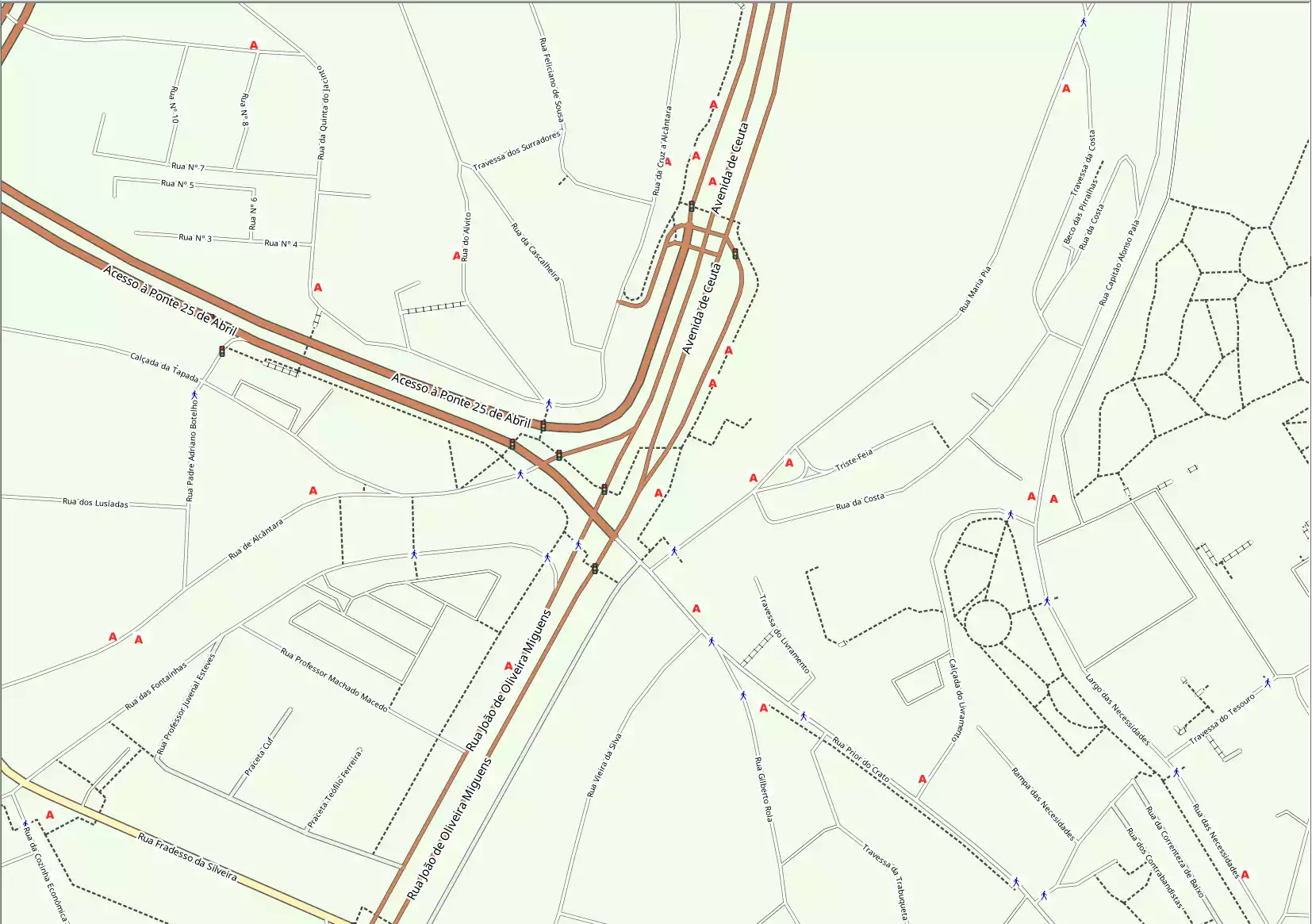
- osm_id — ID in OSM base
- name — Local name
- name_en — Name in English
- HIGHWAY — HIGHWAY field value
- railway — railway field value
- way — Geometry
Shop (areas) 153588
Fields of layer:
- osm_id — ID in OSM base
- name — Local name
- name_en — Name in English
- shop — shop field value
- way — Geometry
Shops (points) 368602
Fields of layer: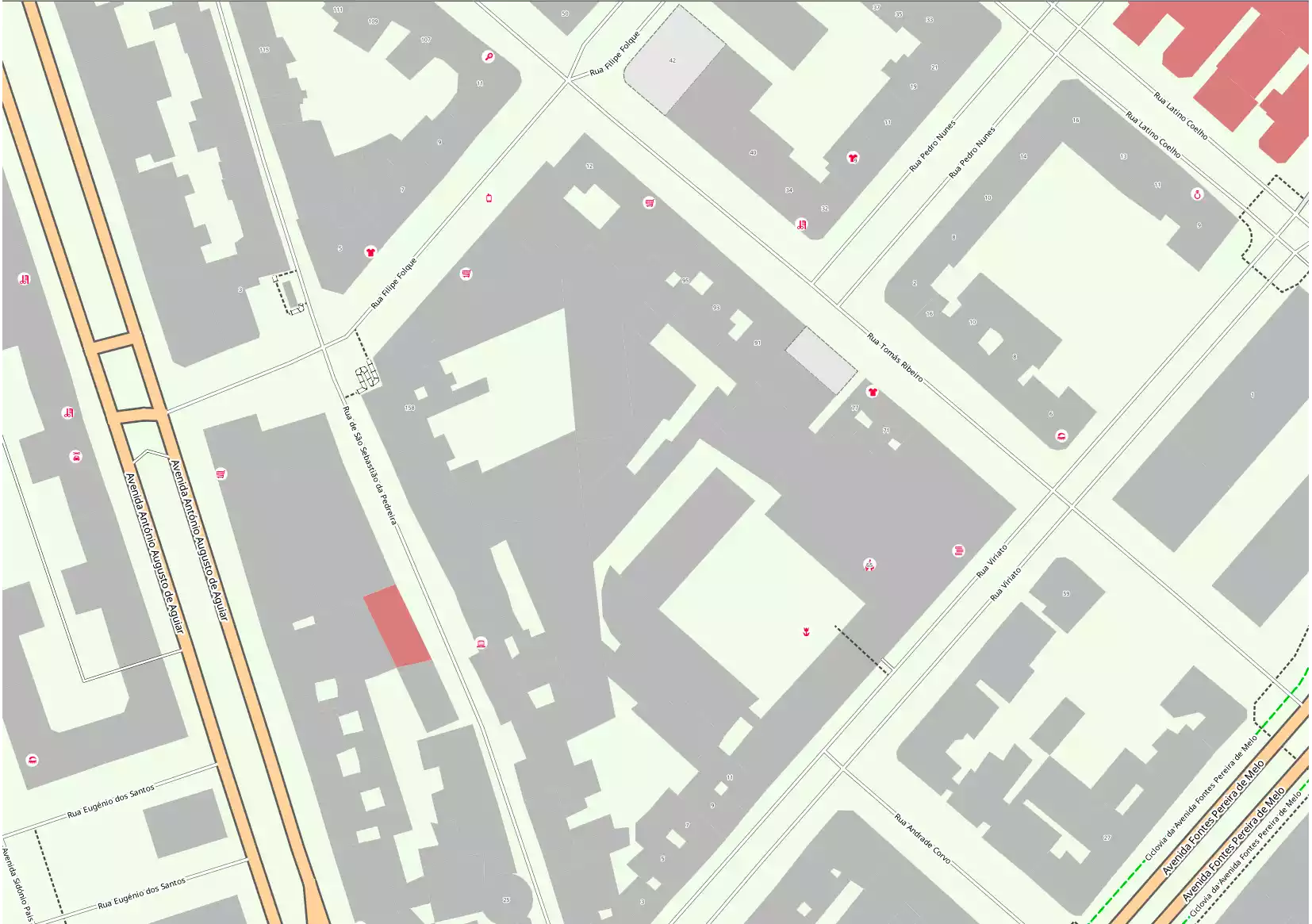
- osm_id — ID in OSM base
- name — Local name
- name_en — Name in English
- shop — shop field value
- way — Geometry
Sport (areas) 277814
Fields of layer:
- osm_id — ID in OSM base
- name — Local name
- name_en — Name in English
- sport — sport field value
- way — Geometry
Sport (points) 286254
Fields of layer: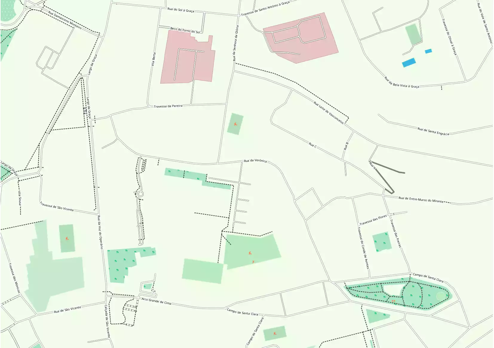
- osm_id — ID in OSM base
- name — Local name
- name_en — Name in English
- sport — sport field value
- way — Geometry
Tourism (areas) 103537
Fields of layer:
- osm_id — ID in OSM base
- name — Local name
- name_en — Name in English
- TOURISM — TOURISM field value
- information — information field value
- historic — historic field value
- way — Geometry
Tourism (points) 293621
Fields of layer: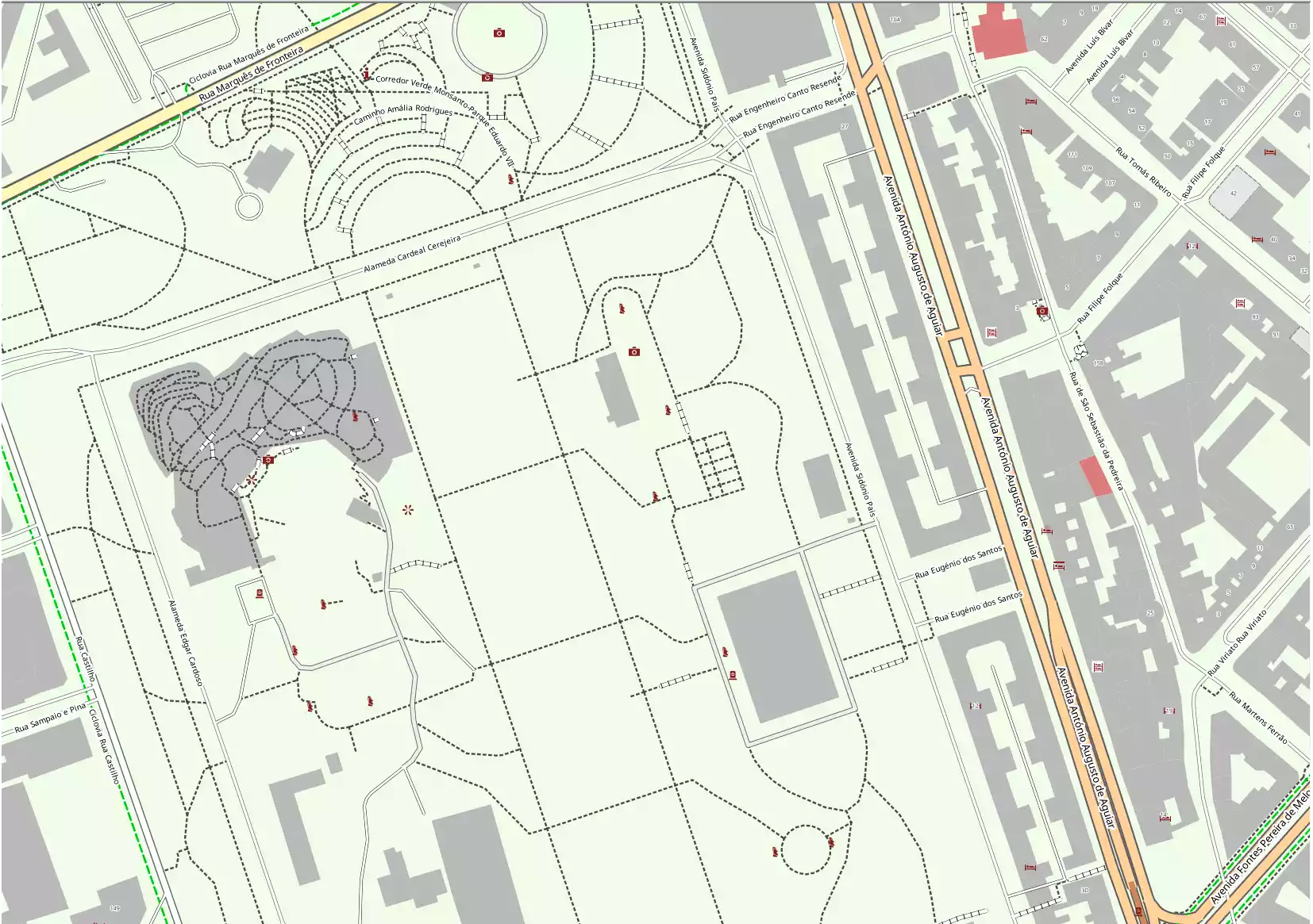
- osm_id — ID in OSM base
- name — Local name
- name_en — Name in English
- TOURISM — TOURISM field value
- information — information field value
- historic — historic field value
- way — Geometry
Routes 106895
Fields of layer: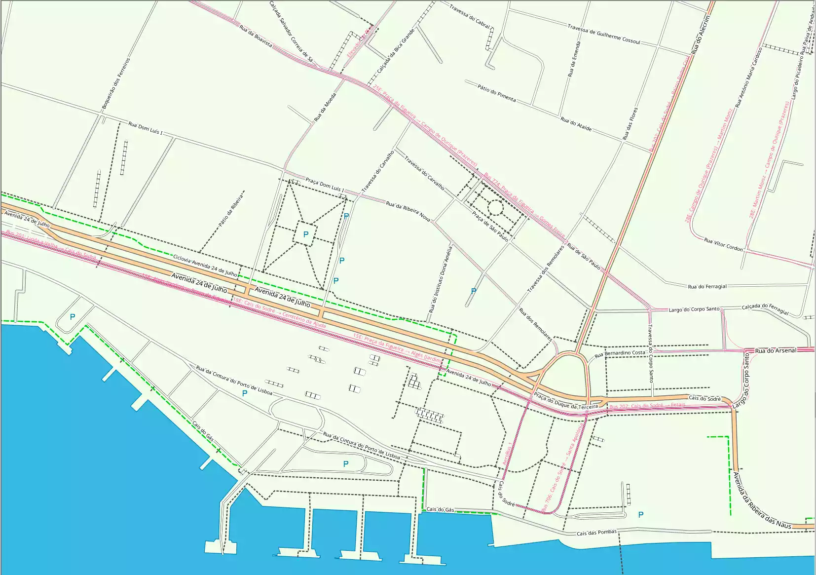
- osm_id — ID in OSM base
- name — Local name
- name_en — Name in English
- ROUTE — ROUTE field value
- REF — REF field value
- OPERATOR — OPERATOR field value
- way — Geometry
Streams and ditches 5353359
Fields of layer: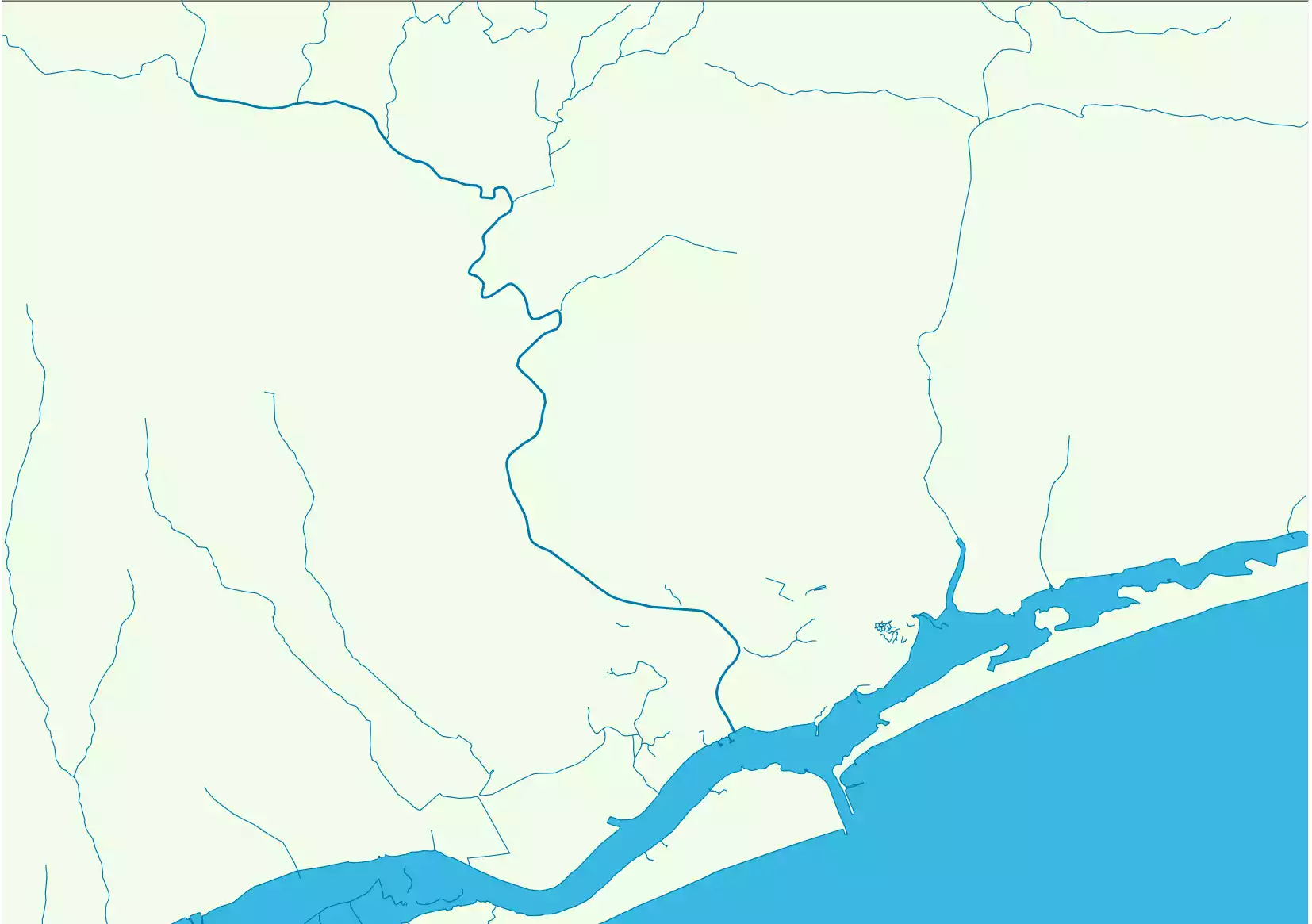
- osm_id — ID in OSM base
- name — Local name
- name_en — Name in English
- WATERWAY — WATERWAY field value
- way — Geometry
Lakes, swamps and large rivers 2499812
Fields of layer: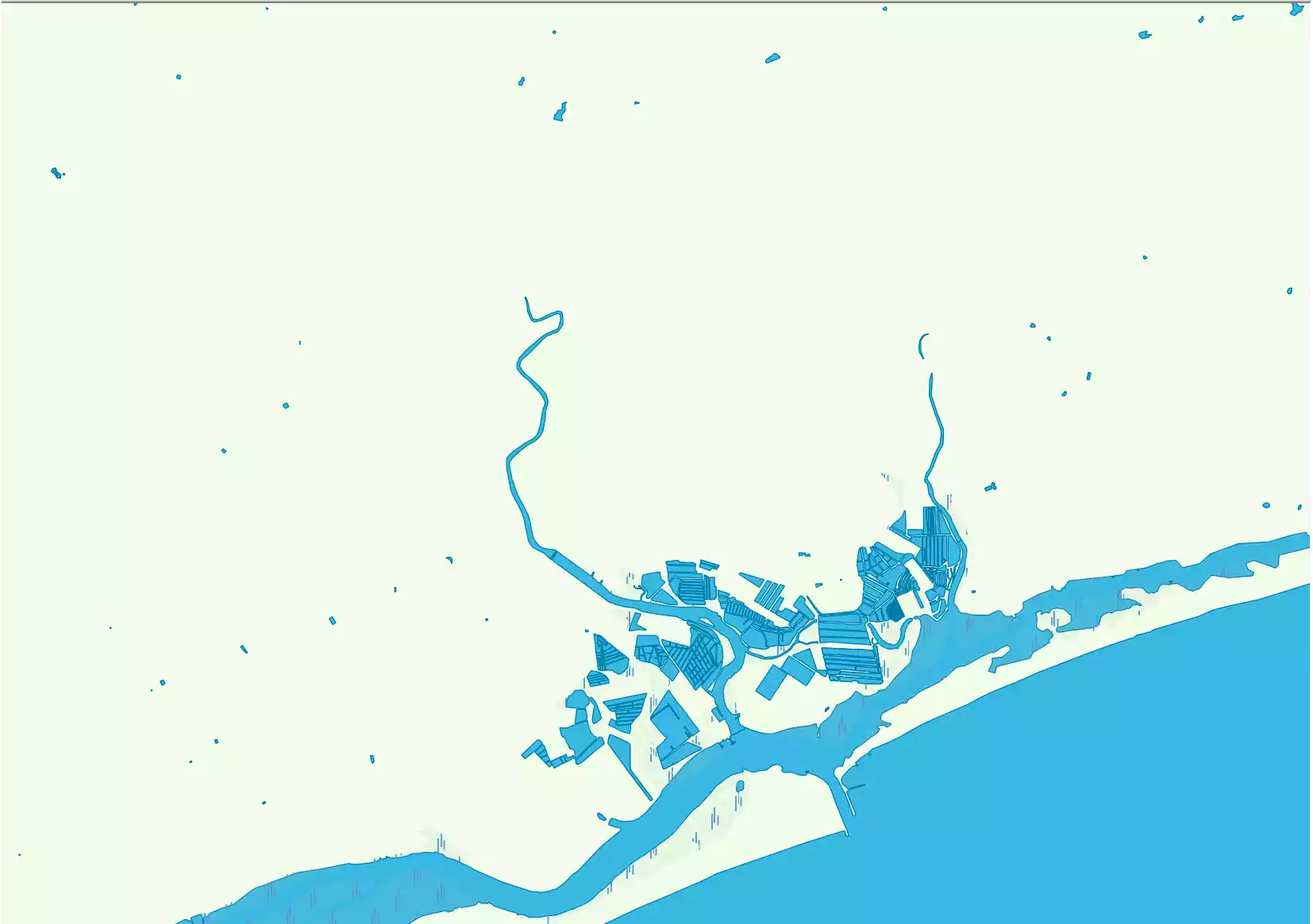
- osm_id — ID in OSM base
- name — Local name
- name_en — Name in English
- natural — Natural field value
- landuse — Landuse field value
- water — Water field is not null
- waterway — Waterway field value
- way — Geometry
Coastline 1
Fields of layer: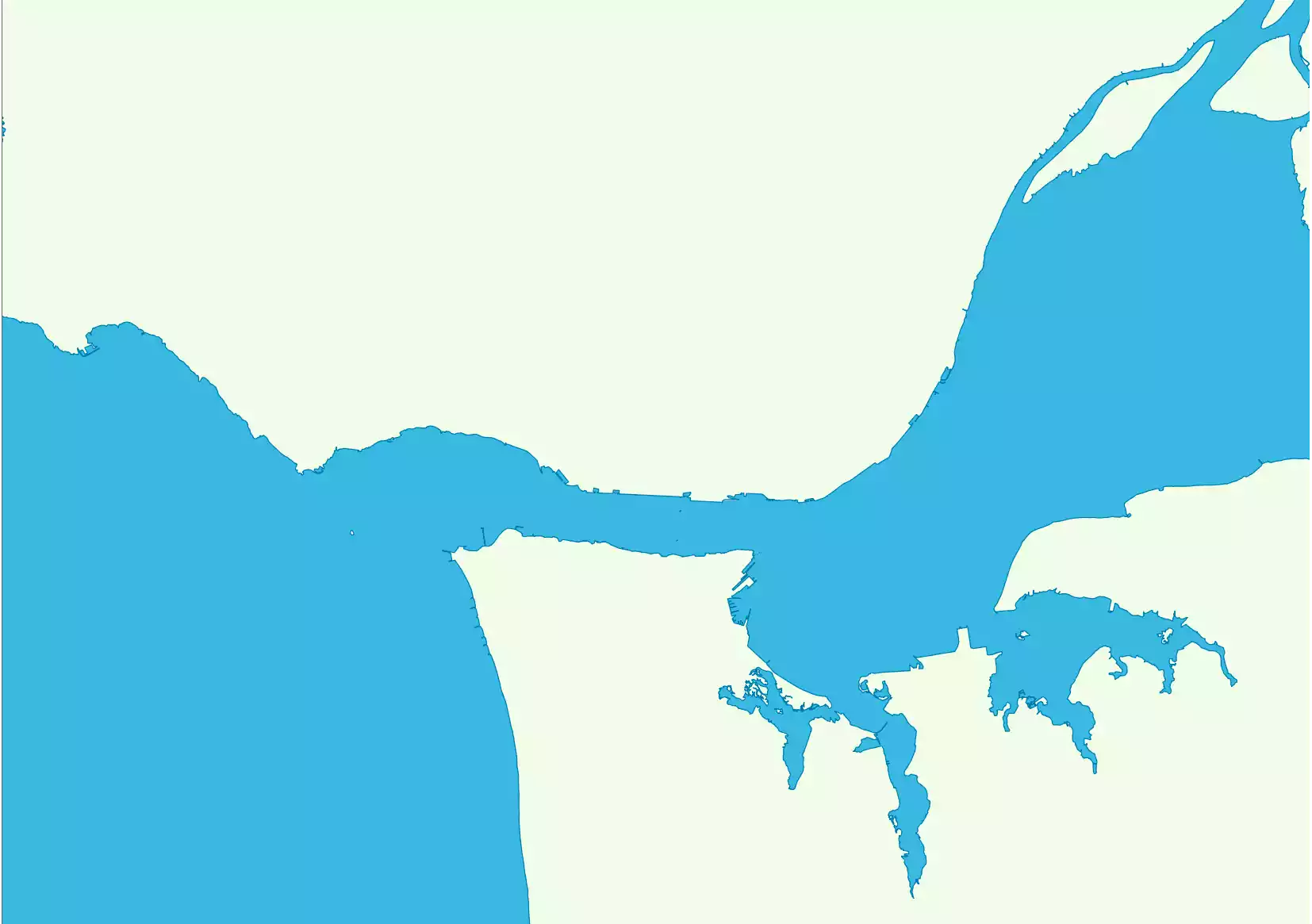
- id — Local ID
Land border 1
Fields of layer:
- id — Local ID
Ocean border 1
Fields of layer:
- id — Local ID
Legend of map of United States of America and sample project
Statistics on objects in the United States of America
Boundary / Boundary (lines)
| Name | Type | OSM Tag | Count |
| Countries | lines | admin_level = '2' | 2276 |
| Administrative level 3 | lines | admin_level = '3' | 2 |
| Administrative level 4 | lines | admin_level = '4' | 5691 |
| Administrative level 5 | lines | admin_level = '5' | 112 |
| Administrative level 6 | lines | admin_level = '6' | 27068 |
| Administrative level 8 | lines | admin_level = '8' | 102131 |
| Administrative level 9 | lines | admin_level = '9' | 1246 |
| Administrative level 10 | lines | admin_level = '10' | 4400 |
Boundary / Boundary (Polygons)
| Name | Type | OSM Tag | Count |
| Countries | polygons | admin_level = '2' | 8 |
| Administrative level 4 | polygons | admin_level = '4' | 122 |
| Administrative level 5 | polygons | admin_level = '5' | 8 |
| Administrative level 6 | polygons | admin_level = '6' | 4317 |
| Administrative level 8 | polygons | admin_level = '8' | 33566 |
| Administrative level 9 | polygons | admin_level = '9' | 813 |
| Administrative level 10 | polygons | admin_level = '10' | 3635 |
| Places | polygons | place = 'city' / place = 'town' / place = 'village' / place = 'hamlet' / place = 'locality' / place = 'suburb' / place = 'island' / place = 'farm' / place = 'isolated_dwelling' | 42432 |
Boundary of settlements and territories
| Name | Type | OSM Tag | Count |
| City | polygons | place = 'city' | 11366 |
| Town | polygons | place = 'town' | 8309 |
| Village | polygons | place = 'village' | 6737 |
| Hamlet | polygons | place = 'hamlet' | 919 |
| Locality | polygons | place = 'locality' | 4456 |
| Suburb | polygons | place = 'suburb' | 978 |
| Island | polygons | place = 'island' | 9451 |
| Farm | polygons | place = 'farm' | 181 |
| Isolated dwelling | polygons | place = 'isolated_dwelling' | 35 |
| Region or country | polygons | place = 'region' / place = 'county' | 1507 |
Building (points)
| Name | Type | OSM Tag | Count |
| Building | points | building is not '' | 372887 |
Building (polygons)
| Name | Type | OSM Tag | Count |
| Building | polygons | building is not '' | 58400336 |
| Dominants | polygons | building = 'church' / building = 'government' / building = 'cathedral' / building = 'public' / building = 'hospital' / building = 'train_station' / building = 'chapel' / building = 'college' / building = 'university' | 117194 |
| Schools and kindergartens | polygons | building = 'school' / building = 'kindergarten' | 123762 |
| Under construction | polygons | building = 'construction' | 6049 |
Facilities and services / Facilities
| Name | Type | OSM Tag | Count |
| bicycle parking | points | amenity = 'bicycle_parking' | 57162 |
| police | points | amenity = 'police' | 7874 |
| fire station | points | amenity = 'fire_station' | 15782 |
| post box | points | amenity = 'post_box' | 19269 |
| post office | points | amenity = 'post_office' | 15935 |
| telephone | points | amenity = 'telephone' | 1921 |
| library | points | amenity = 'library' | 8179 |
| townhall | points | amenity = 'townhall' | 4980 |
| courthouse | points | amenity = 'courthouse' | 1597 |
| prison | points | amenity = 'prison' | 637 |
| embassy | points | amenity = 'embassy' / office = 'diplomatic' | 389 |
| community centre | points | amenity = 'community_centre' | 2205 |
| nursing home | points | amenity = 'nursing_home' | 1015 |
| arts centre | points | amenity = 'arts_centre' | 1007 |
| cemetery | points | amenity = 'grave_yard' / landuse = 'cemetery' | 59830 |
| marketplace | points | amenity = 'marketplace' | 1349 |
| recycling | points | amenity = 'recycling' | 6939 |
| university | points | amenity = 'university' | 619 |
| school | points | amenity = 'school' | 74097 |
| kindergarten | points | amenity = 'kindergarten' | 2712 |
| college | points | amenity = 'college' | 1050 |
| pharmacy | points | amenity = 'pharmacy' | 13274 |
| hospital | points | amenity = 'hospital' | 940 |
| clinic | points | amenity = 'clinic' | 7206 |
| doctors | points | amenity = 'doctors' | 7403 |
| dentist | points | amenity = 'dentist' | 10431 |
| veterinary | points | amenity = 'veterinary' | 3155 |
| theatre | points | amenity = 'theatre' | 3268 |
| nightclub | points | amenity = 'nightclub' | 826 |
| cinema | points | amenity = 'cinema' | 1356 |
| swimming pool | points | amenity = 'swimming_pool' / leisure = 'swimming_pool' / sport = 'swimming' / leisure = 'water_park' | 28367 |
| restaurant | points | amenity = 'restaurant' | 112327 |
| fast food | points | amenity = 'fast_food' | 65571 |
| cafe | points | amenity = 'cafe' | 27960 |
| pub | points | amenity = 'pub' | 6142 |
| bar, biergarten | points | amenity = 'bar' / amenity = 'biergarten' | 14725 |
| food court | points | amenity = 'food_court' | 572 |
| shelter | points | amenity = 'shelter' | 12920 |
| car rental | points | amenity = 'car_rental' | 2034 |
| car wash | points | amenity = 'car_wash' | 4368 |
| car sharing | points | amenity = 'car_sharing' | 664 |
| bicycle rental | points | amenity = 'bicycle_rental' | 5283 |
| bank | points | amenity = 'bank' | 19314 |
| atm | points | amenity = 'atm' | 10546 |
| toilets | points | amenity = 'toilets' | 30805 |
| bench | points | amenity = 'bench' | 137190 |
| drinking water | points | amenity = 'drinking_water' | 16381 |
| fuel | points | amenity = 'fuel' | 37421 |
| bus station | points/polygons | amenity = 'bus_station' | 971 |
| taxi | points/polygons | amenity = 'taxi' | 415 |
| airport | points/polygons | amenity = 'airport' / aeroway = 'aerodrome' + type is not 'airstrip' | 257 |
| ferry terminal | points/polygons | amenity = 'ferry_terminal' | 802 |
Facilities and Services / Places of Worship
| Name | Type | OSM Tag | Count |
| Christian churches | points | amenity = 'place_of_worship' + religion = 'christian' | 152427 |
| Synagogue | points | amenity = 'place_of_worship' + religion = 'jewish' | 743 |
| Mosque | points | amenity = 'place_of_worship' + religion = 'muslim' | 308 |
| Buddhist temple | points | amenity = 'place_of_worship' + religion = 'buddhist' | 272 |
| Hindu temple | points | amenity = 'place_of_worship' + religion = 'hindu' | 96 |
| Taoist temple | points | amenity = 'place_of_worship' + religion = 'taoist' | 2 |
| Shinto shrine | points | amenity = 'place_of_worship' + religion = 'shinto' | 7 |
| Sikh temple | points | amenity = 'place_of_worship' + religion = 'sikh' | 22 |
Facilities and services / Recreation
| Name | Type | OSM Tag | Count |
| fishing | points | leisure = 'fishing' | 1000 |
| playground | points/polygons | leisure = 'playground' | 14798 |
| sports centre | points/polygons | leisure = 'sports_centre' | 4470 |
| stadium | points/polygons | leisure = 'stadium' | 273 |
| track | points | leisure = 'track' | 253 |
| ice rink | points/polygons | leisure = 'ice_rink' | 260 |
| marina | points | leisure = 'marina' | 1347 |
| slipway | points | leisure = 'slipway' | 16132 |
| dog park | points | leisure = 'dog_park' | 446 |
| golf course | points | leisure = 'golf_course' | 551 |
Facilities and Services / Shops and Services
| Name | Type | OSM Tag | Count |
| supermarket, general | points | shop = 'supermarket' / shop = 'general' | 15786 |
| bakery | points | shop = 'bakery' | 5482 |
| kiosk | points | shop = 'kiosk' | 487 |
| mall | points | shop = 'mall' | 472 |
| department store | points | shop = 'department_store' | 6023 |
| convenience | points | shop = 'convenience' | 29908 |
| clothes | points | shop = 'clothes' | 24803 |
| florist | points | shop = 'florist' | 2591 |
| chemist | points | shop = 'chemist' | 1730 |
| books | points | shop = 'books' | 3072 |
| butcher | points | shop = 'butcher' | 998 |
| shoes | points | shop = 'shoes' | 4750 |
| alcohol, beverages | points | shop = 'alcohol' / shop = 'beverages' | 8442 |
| optician | points | shop = 'optician' | 3749 |
| jewelry | points | shop = 'jewelry' | 5070 |
| gift | points | shop = 'gift' | 6772 |
| sports | points | shop = 'sports' | 3554 |
| stationery | points | shop = 'stationery' | 1538 |
| outdoor | points | shop = 'outdoor' | 1109 |
| mobile phone | points | shop = 'mobile_phone' | 10482 |
| toys | points | shop = 'toys' | 1068 |
| newsagent | points | shop = 'newsagent' | 360 |
| greengrocer | points | shop = 'greengrocer' | 815 |
| beauty | points | shop = 'beauty' | 18852 |
| video | points | shop = 'video' | 210 |
| car | points | shop = 'car' | 6334 |
| bicycle | points | shop = 'bicycle' | 2700 |
| doityourself, hardwar | points | shop = 'doityourself' / shop = 'hardware' | 5392 |
| furniture | points | shop = 'furniture' | 4982 |
| computer | points | shop = 'computer' | 973 |
| garden centre | points | shop = 'garden_centre' | 1628 |
| hairdresser | points | shop = 'hairdresser' | 22294 |
| car repair | points | shop = 'car_repair' | 12588 |
Facilities and services / Sports facilities
| Name | Type | OSM Tag | Count |
| Bowling | points | sport = '10pin' / sport = 'bowling' | 210 |
| athletics | points | sport = 'athletics' | 150 |
| basketball | points | sport = 'basketball' | 1335 |
| canoe | points | sport = 'canoe' | 191 |
| chess | points | sport = 'chess' | 469 |
| cycling | points | sport = 'cycling' | 110 |
| fitness | points | sport = 'fitness' | 2840 |
| gymnastics | points | sport = 'gymnastics' | 190 |
| hockey | points | sport = 'hockey' | 14 |
| motor | points | sport = 'motor' | 86 |
| shooting | points | sport = 'shooting' | 362 |
| skating | points | sport = 'skating' | 17 |
| skiing | points | sport = 'skiing' | 144 |
| soccer | points | sport = 'soccer' | 514 |
| swimming | points | sport = 'swimming' | 728 |
| table tennis | points | sport = 'table_tennis' | 95 |
| tennis | points | sport = 'tennis' | 679 |
| horse racing | points | sport = 'horse_racing' | 13 |
| volleyball | points | sport = 'volleyball' | 136 |
Facilities and services / Tourist facilities
| Name | Type | OSM Tag | Count |
| artwork | points/polygons | tourism = 'artwork' | 20766 |
| attraction | points/polygons | tourism = 'attraction' | 9815 |
| camp site | points/polygons | tourism = 'camp_site' | 21911 |
| caravan site | points/polygons | tourism = 'caravan_site' | 2618 |
| guest house | points/polygons | tourism = 'guest_house' | 1222 |
| hostel | points/polygons | tourism = 'hostel' | 314 |
| hotel | points | tourism = 'hotel' | 5665 |
| information | points/polygons | tourism = 'information' | 42526 |
| motel | points/polygons | tourism = 'motel' | 3094 |
| museum | points/polygons | tourism = 'museum' | 4755 |
| picnic site | points | tourism = 'picnic_site' | 11622 |
| theme park | points/polygons | tourism = 'theme_park' | 116 |
| viewpoint | points | tourism = 'viewpoint' | 15669 |
| zoo | points/polygons | tourism = 'zoo' | 139 |
| chalet | points/polygons | tourism = 'chalet' | 555 |
| yes | points | tourism = 'yes' | 160 |
| alpine hut | points | tourism = 'alpine_hut' | 110 |
| map | points | information = 'map' | 4778 |
| board | points | information = 'board' | 15534 |
| guidepost | points | information = 'guidepost' | 11803 |
| monument | points | historic = 'monument' | 6342 |
| memorial | points | historic = 'memorial' | 14008 |
| apartment | points | tourism = 'apartment' | 925 |
| camp pitch | points | tourism = 'camp_pitch' | 25773 |
| gallery | points | tourism = 'gallery' | 1752 |
| wilderness hut | points | tourism = 'wilderness_hut' | 147 |
Ground surface
| Name | Type | OSM Tag | Count |
| Coastlines | lines | 1 | |
| Water surface | polygons | 1 | |
| Land boundaries | polygons | 1 |
Hydrography / Lakes, large rivers, swamps
| Name | Type | OSM Tag | Count |
| Lakes and large rivers | polygons | natural = 'water' / waterway = 'riverbank' | 1963459 |
| Wetland | polygons | natural = 'wetland' | 511991 |
| water' and water not | polygons | natural = 'water' + water is not 'river' + water is not 'reservoir' | 439175 |
Hydrography / Rivers, streams, canals
| Name | Type | OSM Tag | Count |
| Canal | lines | waterway = 'canal' | 81872 |
| Drain | lines | waterway = 'drain' | 112244 |
| River | lines | waterway = 'river' | 289333 |
| Stream | lines | waterway = 'stream' | 4537497 |
| Others | lines | waterway is not '' | 5353359 |
Infrastructure / Fences
| Name | Type | OSM Tag | Count |
| Fence | lines | barrier = 'fence' | 508604 |
| Wall | lines | barrier = 'wall' | 121828 |
Infrastructure / Man-made objects
| Name | Type | OSM Tag | Count |
| Tower | points | man_made = 'tower' | 52009 |
| Cell tower | points | man_made = 'tower' + tower:type = 'communication' | 22424 |
| Water tower | points | man_made = 'water_tower' | 12828 |
| Lookout tower | points | man_made = 'tower' + tower:type = 'observation' | 1105 |
| Lighthouse | points | man_made = 'lighthouse' | 592 |
| Water well | points | man_made = 'water_well' | 2345 |
| Watermill | points | man_made = 'watermill' | 47 |
Infrastructure / Power lines
| Name | Type | OSM Tag | Count |
| Power lines | lines | power is not '' | 246828 |
Infrastructure / Towers Power lines
| Name | Type | OSM Tag | Count |
| Towers Power lines | points | power is not '' | 4117468 |
Natural objects
| Name | Type | OSM Tag | Count |
| Spring | points | natural = 'spring' | 27771 |
| Peak | points | natural = 'peak' | 81247 |
| Volcano | points/polygons | natural = 'volcano' | 1499 |
| Tree | points | natural = 'tree' | 2455135 |
| Cave entrance | points | natural = 'cave_entrance' | 1120 |
Settlements
| Name | Type | OSM Tag | Count |
| City | points | place = 'city' | 900 |
| Town | points | place = 'town' | 6650 |
| Village | points | place = 'village' | 17827 |
| Hamlet | points | place = 'hamlet' | 117000 |
| Hamlet | points | place = 'locality' | 11666 |
| The capital | points | place = 'city' + is_capital = 'country' / admin_level = '2' / capital = 'yes' + 'admin_level' is null | 1 |
Surfaces and land use
| Name | Type | OSM Tag | Count |
| Nature reserve | polygons | landuse = 'nature_reserve' | 15 |
| Allotments | polygons | landuse = 'allotments' | 2602 |
| Basin | polygons | landuse = 'basin' | 14592 |
| Brownfield | polygons | landuse = 'brownfield' | 14684 |
| Cemetery | polygons | landuse = 'cemetery' | 87096 |
| Commercial | polygons | landuse = 'commercial' | 117024 |
| Construction | polygons | landuse = 'construction' | 16427 |
| Farm, farmland | polygons | landuse = 'farm' / landuse = 'farmland' | 384409 |
| Farmyard | polygons | landuse = 'farmyard' | 64687 |
| Forest | polygons | landuse = 'forest' / landuse = 'natural' | 130084 |
| Garages | polygons | landuse = 'garages' | 1838 |
| Grass | polygons | landuse = 'grass' | 950334 |
| Greenfield | polygons | landuse = 'greenfield' | 3298 |
| Industrial | polygons | landuse = 'industrial' | 123132 |
| Landfill | polygons | landuse = 'landfill' | 2341 |
| Meadow | polygons | landuse = 'meadow' | 112046 |
| Quarry | polygons | landuse = 'quarry' | 13623 |
| Railway | polygons | landuse = 'railway' | 4008 |
| Recreation ground | polygons | landuse = 'recreation_ground' | 21923 |
| Reservoir | polygons | landuse = 'reservoir' | 24685 |
| Residential | polygons | landuse = 'residential' | 935129 |
| Retail | polygons | landuse = 'retail' | 89524 |
| Salt pond | polygons | landuse = 'salt_pond' | 219 |
| Village green | polygons | landuse = 'village_green' | 1194 |
| Vineyard | polygons | landuse = 'vineyard' | 18587 |
| Plant nursery | polygons | landuse = 'plant_nursery' | 3732 |
| Education | polygons | landuse = 'education' | 1076 |
| Park | polygons | leisure = 'park' | 157985 |
| Beach | polygons | natural = 'beach' | 14123 |
| Fell | polygons | natural = 'fell' | 1934 |
| Grassland | polygons | natural = 'grassland' | 78693 |
| Heath | polygons | natural = 'heath' | 16494 |
| Sand | polygons | natural = 'sand' | 300286 |
| Scrub | polygons | natural = 'scrub' | 166833 |
| Orchard | polygons | natural = 'orchard' | 1 |
Territories of services and services / Facilities
| Name | Type | OSM Tag | Count |
| Amenity | polygons | amenity is not '' | 2063508 |
Territories of services and services / Recreation
| Name | Type | OSM Tag | Count |
| Leisure | polygons | leisure is not '' | 1381578 |
Territories of services and services / Religious objects
| Name | Type | OSM Tag | Count |
| Place of worship | polygons | amenity = 'place_of_worship' | 96509 |
| Place of worship | polygons | amenity = 'place_of_worship' | 96509 |
Territories of services and services / Shops and services
| Name | Type | OSM Tag | Count |
| Shop | polygons | shop is not '' | 239583 |
Territories of services and services / Sports facilities
| Name | Type | OSM Tag | Count |
| Sport | polygons | sport is not '' | 521740 |
Territories of services and services / Tourist objects
| Name | Type | OSM Tag | Count |
| Tourism | polygons | tourism is not '' | 101210 |
Transport / Parking
| Name | Type | OSM Tag | Count |
| parking | polygons | amenity = 'parking' | 1006186 |
Transport / Public transport routes
| Name | Type | OSM Tag | Count |
| bus, tram, trolleybus | lines | route = 'bus' / route = 'trolleybus' / route = 'tram' / route = 'share_taxi' | 90089 |
| subway | lines | route = 'subway' | 4878 |
| train | lines | route = 'train' | 10700 |
| ferry | lines | route = 'ferry' | 1228 |
Transport / Railway platforms
| Name | Type | OSM Tag | Count |
| Platform | polygons | railway = 'platform' | 5960 |
Transport / Railways
| Name | Type | OSM Tag | Count |
| Abandoned | lines | railway = 'abandoned' | 112884 |
| Construction | lines | railway = 'construction' | 1064 |
| Light rail | lines | railway = 'light_rail' | 9032 |
| Narrow gauge | lines | railway = 'narrow_gauge' | 1596 |
| Platform | lines | railway = 'platform' | 2056 |
| Railway | lines | railway = 'rail' + service is null | 170240 |
| Service railway | lines | railway = 'rail' + service is not null | 207913 |
| Subway | lines | railway = 'subway' | 12605 |
| tram | lines | railway = 'tram' | 1970 |
| monorail | lines | railway = 'monorail' | 1018 |
| miniature | lines | railway = 'miniature' | 2752 |
| funicular | lines | railway = 'funicular' / railway = 'rail' + traction = 'funicular' | 94 |
Transport / Road
| Name | Type | OSM Tag | Count |
| Trunk | lines | highway = 'trunk' / highway = 'trunk_link' | 288074 |
| Primary | lines | highway = 'primary' / highway = 'primary_link' | 715844 |
| Secondary | lines | highway = 'secondary' / highway = 'secondary_link' | 912323 |
| Tertiary | lines | highway = 'tertiary' / highway = 'tertiary_link' | 954054 |
| Unclassified | lines | highway = 'unclassified' | 638644 |
| Residential | lines | highway = 'residential' | 9300174 |
| Service | lines | highway = 'service' | 19365411 |
| Footway | lines | highway = 'footway' / highway = 'path' + foot = 'designated' | 4727057 |
| Construction | lines | highway = 'construction' | 29152 |
| Road | lines | highway = 'road' | 3445 |
| Crossing | lines | highway = 'crossing' | 46 |
| Cycleway | lines | highway = 'cycleway' / highway = 'path' + cycle = 'designated' | 223449 |
| Living street | lines | highway = 'living_street' | 20422 |
| Pedestrian | lines | highway = 'pedestrian' | 13657 |
| Steps | lines | highway = 'steps' | 97057 |
| Track | lines | highway = 'track' | 1712432 |
| Bridleway | lines | highway = 'bridleway' / highway = 'path' + horse = 'designated' | 15286 |
| Raceway | lines | highway = 'raceway' | 4024 |
Transport / Road infrastructure
| Name | Type | OSM Tag | Count |
| Crossing | points | highway = 'crossing' / railway = 'level_crossing' | 2367809 |
| Traffic signals | points | highway = 'traffic_signals' | 449985 |
| Mini roundabout | points | highway = 'mini_roundabout' | 2289 |
| Stop | points | highway = 'stop' | 570803 |
| Speed camera | points | highway = 'speed_camera' | 455 |
| Street lamp | points | highway = 'street_lamp' | 533636 |
| Bus stop | points | highway = 'bus_stop' | 249929 |
Transport / Roadside service
| Name | Type | OSM Tag | Count |
| services | polygons | highway = 'services' | 724 |
Transport / Squares
| Name | Type | OSM Tag | Count |
| square | polygons | place = 'square' | 568 |
![.$row2[6].](/img/Squere.webp)
Transport / Stations and platforms
| Name | Type | OSM Tag | Count |
| Station | points | railway = 'station' | 4132 |
| Halt | points | railway = 'halt' | 310 |
| Tram stop | points | railway = 'tram_stop' / public_transport = 'stop_position' + tram = 'yes' | 1790 |
| Subway entrance | points | railway = 'subway_entrance' | 3163 |
This site is not affiliated with OpenStreetMap Foundaton and is an independent project providing data based on OSM. The data corresponds to the original OSM data, the cutting into geographical areas may differ from the boundaries contained in OSM. OpenStreetMap data is distributed under the ODbL license.
Contact:
© Copyright 2023-2025 Data prepared GEO2day, Original Maps and data OpenStreetMap Contributors | Map tiles by CartoDB, under CC BY 3.0. Data by OpenStreetMap, under ODbL.